


NASA Forms Association with IBM’s AI To Instigate Geospatial Model, Will Discover Climate Data
In order to tackle Earth’s climate crisis, a new study will be formed with the help of a Geospatial Model. The NASA Space Agency has joined hands with Technology Giant IBM to conduct environmental research and analysis and transform satellite data into detailed maps. Know here more about this exciting exploration of Earth’s history and future.
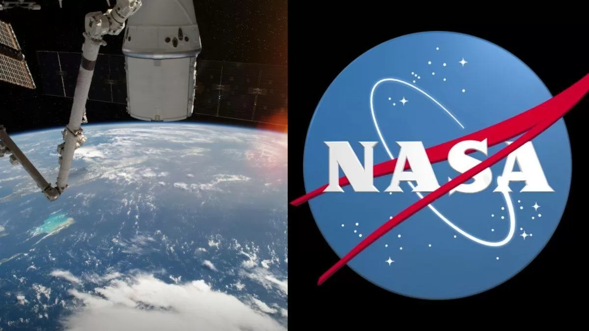
NASA together with IBM Company has come up with a new project that will be carried forward with the help of Artificial Intelligence (AI) and Machine Learning for building a sustainable foundation model. In May this year, these two big corporations formed an alliance with each other to collect geospatial data.
The atmospheric conditions on Earth are constantly changing and there is an immediate need to gear up and manage things before it becomes alarmingly perilous. The National Aeronautics and Space Administration aligned with the International Business Machines Corporation to design a Geospatial Foundation Model which will help to identify the key areas of fire, floods and other landscape formations.
What is Geospatial Foundation Model?
Geospatial Modeling or GIS is a special technique to detect patterns in any data that is related to maps or geospatial content. Spatial or Geospatial data is acquired by location and demographic attributes.
From such kind of occurring patterns, one can find out what and where these conditions are likely to prevail in future. It is a tool based on predictions and analyzing components used for a specific purpose. IBM also known as Big Blue has its own Geospatial AI model named ‘watsonx.ai’.
With this, one can leverage foundation models and generate the required information for businesses and other projects. NASA planned an idea to collaborate with this company so that it can carry out its successful missions to research the impact of climate change.
What is Watson AI?
IBM Watson is an advanced-level computer system which is capable of providing answers to complex questions in a very natural manner. It was developed by the research team for IBM’s DeepQA project. ‘Watson’ name is given to this technology after Thomas J. Watson, founder and first CEO of IBM.
This supercomputer holds the power to combine AI and software to facilitate its users with highly efficient data. It has secured frameworks which will help in NASA’s project of visual scientific data.
Satellite Observations
World’s population has witnessed a rise in floods due to increasing levels of seas and storms and changing climate. The aim is to protect people and property and develop less risky areas in the coming times.
This new geospatial foundation model of IBM will convert NASA’s satellite observations into customized maps of natural disasters and other environmental changes. This can be applied in evaluating climate-related risks to buildings, crops and other infrastructure and create future strategies to control climate change.
Maps and Visuals
The AI-based rich visualizations of IBM will assist in future projects and manage disaster scenarios. It will provide information that could reduce flood impacts, plan infrastructure, inform insurance and risk management decisions, respond to disasters and protect the environment.
To improve the model’s efficiency, researchers diminished the size of satellite images in order to process the data in smaller chunks and get away with fewer GPUs. Then the model was trained using more than 5,000 GPU hours.
It will give insights related to different climate conditions and help businesses to know the effect of farming practices on local environments. Predictive models and several programs for the betterment of the environment will be set as the basis of overall global missions.
No comments